
The Map Layers & Overlays feature allows you to control the additional geographic information displayed on the map in a Dashboard Workspace. You can choose which assets, Esri Feature Services, and available GeoJSON files are shown on the map, helping you customize the map based on the locations and geographic information you want to monitor.
Access Map Layers and Overlays
-
Open the required Dashboard workspace.
-
In the Map section, click the Layers icon in the upper-right corner.
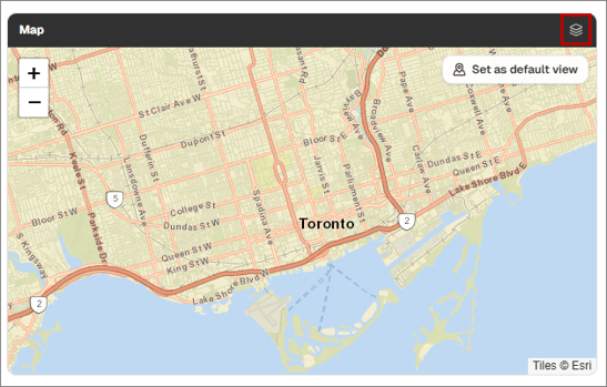
The Map Layers and Overlays dialog is displayed.
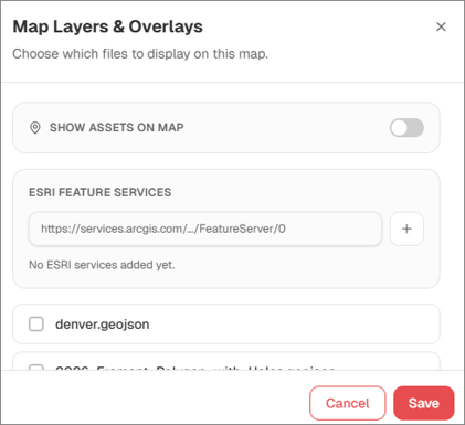
Show Assets on Map
Use Show Assets on Map to control which asset labels are displayed on the map.
When this option is enabled, the available asset labels are listed below it. Select the checkbox for each asset label you want to display on the map.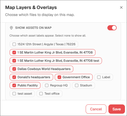
Esri Feature Services
The Esri Feature Services section allows you to add an Esri Feature Service as an additional map layer.
To add an Esri Feature Service:
- Enter the Esri Feature Service URL in the Esri Feature Services field.
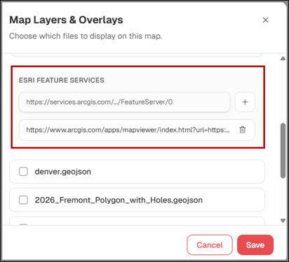
- Click the + icon.
Once successfully added, the Feature Service becomes available for use as a map layer.
GeoJSON Map Files
Available GeoJSON files are displayed in the Map Layers & Overlays dialog. These files can contain additional geographic information such as regions, boundaries, polygons, or other map overlays.
Select the checkbox for a GeoJSON file to display its geographic information on the map. Deselect the checkbox when you do not want that file displayed.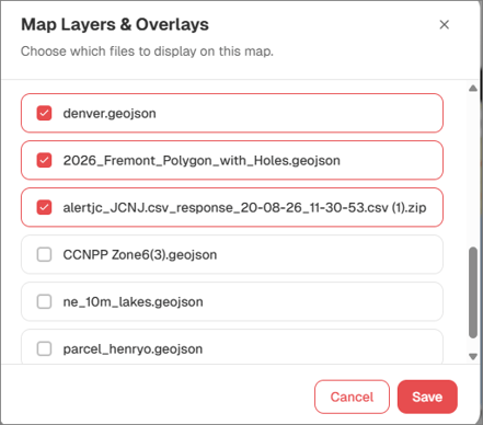
Save Map Layer Changes
After selecting the assets, Esri Feature Services, or GeoJSON files you want to display, click Save. The selected layers are applied to the dashboard map.